
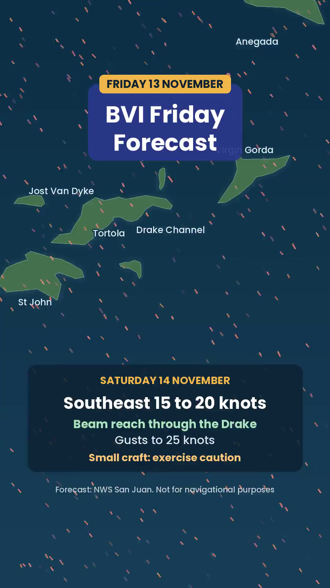
The short version: a breezy Saturday, with southeast 15 to 20 knots gusting to 25 and a small craft caution from NWS San Juan, then easing on Sunday to southeast 10 to 15 knots with sunshine and about 2 feet in the Drake. The trades swing east on Monday with scattered showers. The north swell has faded.
Download the one-page forecast sheet (PDF)
Day by day
| Day | Wind | Point of sail, Drake | Inside the Drake | Outside | Rain | Sailing call |
|---|---|---|---|---|---|---|
| Saturday 14 | Southeast 15 to 20 kt, gusts 25 | Beam reach through the Drake | About 3 ft | 3 to 5 ft, occ. 6 | 10%, isolated showers early | Breezy and choppy. NWS small craft caution: reef early. |
| Sunday 15 | Southeast 10 to 15 kt, gusts 20 | Broad reach west, close reach east | About 2 ft | 2 to 3 ft | 10%, sunny | The pick of the weekend: easier wind and sea. |
| Monday 16 | East 10 to 15 kt | Run west, beat back east | About 2 ft | 3 to 4 ft, occ. 5 | 40 to 50%, scattered showers, thunder possible at night | Classic trades with passing showers. |
| Tuesday 17 | East around 15 kt | Run west, beat back east | About 2 ft | 3 to 4 ft, occ. 5 | 20 to 30%, scattered showers | Steady easterly trades. |
Air and water: 83 to 85°F by day, 77 to 79°F at night (NWS, Coral Bay, St. John). Water 86°F.
Tides: Sat high 12:35 pm, low 3:49 am. Sun high 1:13 pm, low 9:58 pm. Mon high 1:56 pm. Tue high 2:39 pm (NOAA, St. John). Range about 1 ft.
Where to go
- The Bight, Norman Island: a reliable trade-wind anchorage, sheltered from the southeast.
- North Sound, Virgin Gorda: plenty of room and shelter in the trades.
- Cane Garden Bay: the north swell has faded, so it is a good trade-wind stop again.
- Trellis Bay: easy and sheltered in southeast to east winds.
Watch out for
- Saturday: southeast 15 to 20 knots, gusts to 25. NWS San Juan says small craft should exercise caution, with choppy to locally rough seas.
- South- and southeast-facing anchorages can be bouncy on Saturday; pick a spot tucked behind a headland.
- Anegada Passage: 5 to 6 ft, occasionally 8 ft on Saturday, easing to about 4 ft Sunday.
- Monday: scattered showers, with a chance of thunderstorms Monday night that can bring sudden gusts.
Tropics: NHC (7 AM EST Fri): tropical cyclone formation is not expected during the next 7 days.
On charter in the BVI? Comment where you are anchored and we will help you pick a bay for the next few days. Our daily briefing posts every morning at 7:30, and the full forecast every Tuesday and Friday at 4 PM on the BVI weather forecast page.
Sources: NWS San Juan Coastal Waters Forecast (AMZ716, AMZ726, AMZ723), issued 3:34 AM AST Fri 13 Nov; NWS hourly grid; NWS Coral Bay point forecast; NDBC 41056; NOAA tide station 9751419; NOAA NHC Tropical Weather Outlook 7 AM EST. Not for navigation. Anchorage notes are our own guidance, not a forecast.


