
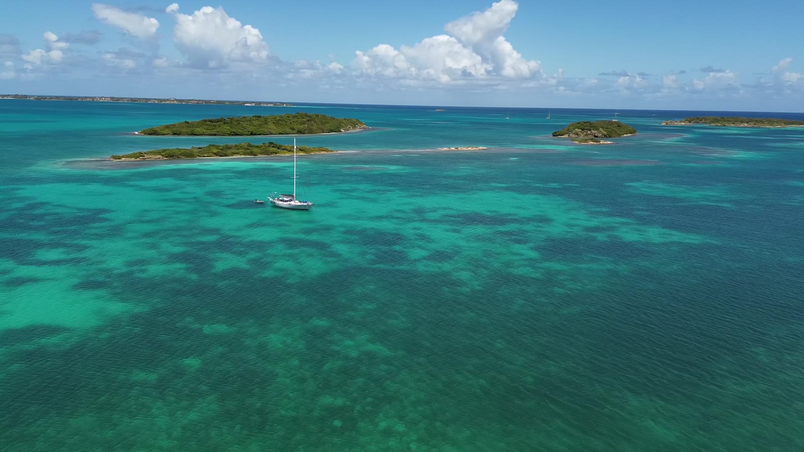
One country, one clearance and far fewer charter boats than the BVI. English Harbour and Nelson’s Dockyard on the south coast, reef-ringed lagoons on the east, and Barbuda’s empty beach a day sail north. The work here is reefs: you pilot by eye, in good light, and you anchor almost every night.


Who an Antigua charter suits
Skippers who want real sailing without border paperwork. It is the easiest of the down-island options on admin and one of the harder ones on pilotage. If you have never read water colour over coral, the north and east coasts are not the place to learn alone.
Where you start
The big fleets sail from Nelson’s Dockyard in English Harbour, on a seasonal base that runs from early November to the end of June. A smaller fleet works from Jolly Harbour on the west coast, next to the island’s best supermarket. V.C. Bird airport (ANU) is 30 to 45 minutes by taxi from either. The fleets here are small compared with the BVI, so book early.
The 7 night route on a map
Gold pins are the nights, numbered in order. Light blue pins are day stops on the way. The longer passages are marked in nautical miles.
- Charter base: English Harbour
- With more time: Falmouth Harbour
- Carlisle Bay
- Day stop: Cades Reef
- With more time: Jolly Harbour
- Five Islands
- Deep Bay
- With more time: Dickenson Bay
- Low Bay, Barbuda
- Cocoa Point, Barbuda
- Great Bird Island
- Green Island
Not for navigational purposes. Positions are approximate and the route line is a sketch that keeps off the land. It ignores depth, reefs and shoals.
- Charter base
- Night stop, numbered in order
- Day stop
- With more time
- Typical route
7 nights from English Harbour: day by day
One country, no paperwork after day one, and a loop that goes right round the island with two nights in Barbuda. If the forecast is for more than 20 knots or a big north swell, skip Barbuda and spend those nights at Dickenson Bay and Jolly Harbour instead.
English Harbour to Carlisle Bay
An afternoon start and a gentle five miles downwind along the south coast to a calm, palm-lined bay.
Carlisle Bay to Five Islands
On the way: Cades Reef
Snorkel Cades Reef in good morning light, then round the corner. Top up with water, fuel and food at Jolly Harbour on the way past, then anchor off the quiet beaches of Five Islands.
Five Islands to Deep Bay
A short hop north. The wreck of the Andes sits in the middle of the bay in 20 feet and is an easy snorkel. Walk up to Fort Barrington for the view.
Deep Bay to Cocoa Point, Barbuda
The big day: about 26 miles of open water. Leave at first light so you arrive with the sun high and behind you, because the approach is all reef and you pilot by eye.
Cocoa Point, Barbuda to Low Bay, Barbuda
Move round to the west coast and anchor off a beach that runs for miles with nobody on it. Take a guide to the frigate bird colony in the lagoon.
Low Bay, Barbuda to Great Bird Island
Back across to Antigua, about 30 miles, aiming for the north-east corner. Enter the reef passes in good light only. Great Bird is as far from a marina as Antigua gets.
Great Bird Island to Green Island
Out through the reef and down the windward coast to Nonsuch Bay, flat water behind a reef with the Atlantic breaking on the other side. Moorings and good snorkelling.
Green Island to English Harbour
A downwind sleigh ride along the south coast to English Harbour. Most bases want the boat back on the dock by mid morning.
The stops in more detail
English and Falmouth Harbours
Nelson’s Dockyard, the superyacht docks and Shirley Heights above. A tight anchorage in Freeman’s Bay, more room in Falmouth. Packed from mid April to early May for the Classics and Sailing Week.
Carlisle Bay and Cades Reef
The sheltered south-west corner, with a two mile barrier reef to snorkel. Enter the reef channel on the transit, in good light.
Jolly Harbour and Five Islands
Marina, moorings, fuel and provisions, with quiet beaches around the corner.
Deep Bay
One of the most secure west coast anchorages. The wreck of the Andes sits in the middle of the bay and a ten minute walk gets you up to Fort Barrington.
Dickenson Bay
The resort beach. Fine in settled weather, uncomfortable in a winter north swell.
Great Bird Island and North Sound
Coral heads everywhere and eyeball navigation only. Some fleets put this whole coast off limits, so ask at your briefing.
Nonsuch Bay and Green Island
Flat turquoise water behind a barrier reef on the windward side, reached by a beat along the south coast in ocean swell. Narrow reef passes.
Barbuda
About 30 miles north. A low island with no navigation aids, unreliable charts and uncharted coral heads. Leave early, arrive with the sun high, put a lookout on the bow. Anchor off Cocoa Point or the long west coast beach and take a local boat to the frigate bird colony.
Where the work is
Clearing in and out
If you start and finish in Antigua you do not clear at all, Barbuda included. It is one country.
Reef navigation
The north and east coasts and all of Barbuda are visual pilotage: sun high and behind you, polarised glasses, someone on the bow. Arrive by early afternoon or do not go.
Moorings and anchoring
Expect to anchor. There are a few moorings at Jolly Harbour, Falmouth and Green Island and that is about it. Holding is mostly sand.
Going to windward
Getting from English Harbour round to Nonsuch Bay means beating into the trades and the Atlantic swell. It is only a dozen miles and it can take most of a day.
Fleet limits
No night sailing, be anchored an hour before sunset, and check exactly which parts of the east coast and Barbuda your company allows.
When to go
The trades blow east to north-east at 15 to 20 knots from November to May. Winter north swells reach the west coast bays and Barbuda’s west side. Mid April to early May is regatta season, brilliant if you want the party and crowded if you do not. The main base closes for hurricane season, June to the end of October.
How Antigua compares with the BVI
| BVI | Antigua | |
|---|---|---|
| Clearances in a week | None | None, including Barbuda |
| Charter boats around you | Hundreds | A few dozen |
| Overnight moorings | In most anchorages | Almost none |
| Pilotage | Line of sight, deep channel | Reefs, read the water |
| Longest normal leg | About 8 nm sheltered | 17 nm coastal, 30 nm to Barbuda |
New to all of this? Start with the BVI bareboat basics and see why most people start in the BVI.
Antigua charter questions
Do you need to clear customs to sail from Antigua to Barbuda?
No. Antigua and Barbuda is one country, so a charter that starts and ends in Antigua needs no clearance to visit Barbuda.
Can bareboats sail to Barbuda?
Often yes, in settled weather and with the base’s approval, but parts of Barbuda are off limits to some fleets. It is about 30 miles of open water to a low, reef-fringed island with no navigation aids, so you need good light on arrival.
Is Antigua harder than the BVI?
Yes, mainly because of reefs and anchoring. The big fleets rate it one level above the BVI and ask for about 10 days or 200 miles as skipper. The windward coast is rated harder still.
When is Antigua Sailing Week?
Late April into early May each year, straight after the Classic Yacht Regatta in mid April. English and Falmouth Harbours are very busy for those three weeks.
Thinking about Antigua?
Tell us your dates, crew and experience and we will tell you straight whether it suits you, or whether another island would suit you better. Same price as booking direct.